Adventures in Science: How GPS Works
Let's gaze upward and look at how some of those nifty satellites can give us position data.
This week, we're taking a look at how the ever-popular Global Positioning System (GPS) works. There's a good bit of complicated technology flying around in the satellites, so I try to simplify it as much as possible.
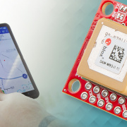
To use GPS, we'll need a receiver and something to interpret the NMEA messages that it spits out. Oh, and an open view of the sky can't hurt, either. NMEA data contains several different message types, so sites like this prove quite useful in interpreting and parsing the data.
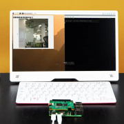
In the video above, I show how to print raw NMEA data to the console, as well as to parse just time and position data. If you are interested in the code for that, it can be found here:
Knowing your position on the surface of the Earth is helpful when you're trying to drive to Grandma's house, but when it comes to robotics and self-driving cars, it's invaluable. GPS is accurate to a few meters, so it's great for larger robots (e.g., autonomous vehicles), but it lacks the precision to navigate some smaller vehicles.
Have you used GPS for AVC before? How well did it work, and do you have any tips to share that would help increase its accuracy?
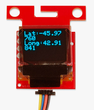
Ready to get hands-on with GPS?
We've got a page just for you! We'll walk you through the basics of how GPS works, the hardware needed, and project tutorials to get you started.
