What is E6 HAS?
A dive into Galileo's free corrections service, which puts the "quad" in "quadband."
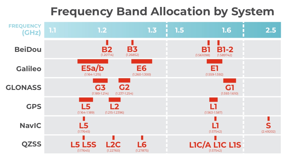
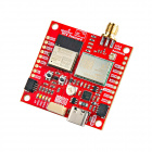
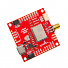
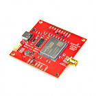
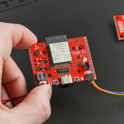
Some of our recent products have been described as capable of quadband reception, like the RTK Postcard and LG290P Breakout board. What sets these apart from our other multiband recievers? Like our other high-precision PNT products, they're capable of L1/L2/L5 reception. However, they take it a step further by being able to receive data from the Galileo constellation's E6b band.
In 2018, the European Space Agency began a project called “High Accuracy Service” (HAS). The purpose of this project was to make increased accuracy GNSS available globally by broadcasting corrections directly from each satellite in real-time. Since then, new GNSS receivers have been designed that are capable of receiving and utilizing these corrections, such as the Unicore UM980 and the Quectel LG290P.
Normal GNSS has a peak accuracy of around 1.5 meters, mainly due to the uncertainty of changes to the carrier phase as signals propagate through the ionosphere. In order to get better accuracy than this, the GNSS signals need to be augmented by “corrections”. HAS provides corrections by transmitting them on the E6b band alongside their standard GNSS signals.
So, how does HAS work?
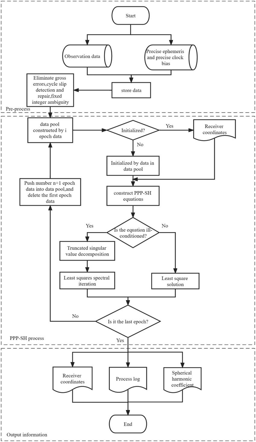
HAS corrections are designed for use in a Precise Point Positioning (PPP) algorithm; a typical use case for PPP would be establishing a very high accuracy position for a Permanent Base Station. Traditional PPP works by having a network of ground stations monitoring satellite broadcasts, computing the error in GNSS satellite broadcasts (and other parameters), and creating corrections for those errors. To compute a corrected position using PPP, a sequential estimation algorithm is used, such as an Extended Kalman Filter, with the goal of finding the following output values:
- Receiver position (ECEF X, Y, Z)
- Receiver clock offset
- Tropospheric zenith delay
- Carrier-phase ambiguities
There are a number of parameters that need to be corrected for after the ground station network has observed the GNSS signals:
- Satellite orbit corrections: These refine the broadcast ephemeris data to provide more accurate satellite positions.
- Satellite clock corrections: These improve the accuracy of satellite clock offset information.
- Satellite biases: These include code and phase biases for supported Galileo signals.
- Atmospheric corrections: Not currently available; the full service will include atmospheric (at least ionospheric) corrections, particularly for the European Coverage Area.
The drawbacks of PPP are the amount of time and infrastructure it requires. The highest quality PPP outcome is only available 12-16 days after the single point data has been collected. The CSRS Rapid PPP has centimeter level accuracy similar to RTK, but is not available until 12 hours after the end of the day the single point data was captured on. For real time, high accuracy operations, RTK is still the best choice.

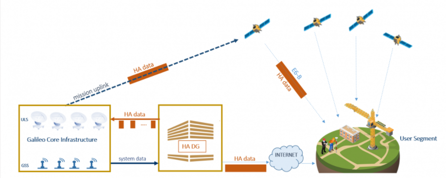
A unique feature of HAS is that these correction messages are computed for each satellite in the Galileo constellation by a ground station, then uploaded to each respective satellite where they are then broadcast alongside the standard GNSS signals. This allows receivers to run the PPP algorithm in real-time, as long as they are capable of receiving the HAS E6b band, and they have the ability to run the PPP algorithm. In addition to HAS E6-B satellite broadcast, HAS PPP corrections can be obtained through their Internet Data Distribution channel; this distribution channel functions much like NTRIP; you provide credentials, and PPP corrections are piped to your device over the internet using NTRIP.
HAS is an amazing achievement in this way; corrections available nearly worldwide, no base station or NTRIP network required. But, there are some downsides; the accuracy is relatively bad compared to RTK (but still good enough for many use-cases), the process is somewhat slow (5-15 minutes for PPP convergence), and it is sensitive to sudden velocity fluctuations.
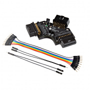
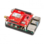
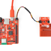
What hardware is compatible with Galileo E6b-HAS?
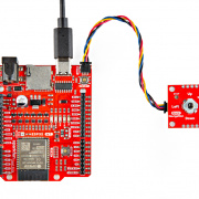
SparkFun sells a few products that are able to receive HAS corrections.
$2,149.95
Below is a list of HAS enabled receivers.
| Manufacturer | Model | Segment or Applications | HAS channel/s |
|---|---|---|---|
| ANAVS | Multi-Sensor RTK/PPP Module | Automotive, robotics, maritime, railway, mining and surveying | E6b |
| ANAVS | AROX-PPP | Autonomous vehicles, Robots, UAVs and Vessels | E6b / IDD |
| Beyond Gravity | PODRIX | Space navigation, Precise Orbit Determination (POD) | E6b |
| Beyond Gravity | NavRIX PinPoint | Space navigation, Precise Orbit Determination (POD) | E6b |
| EOS Positioning | Arrow Gold+™ | Surveying and mapping | E6b |
| Hemisphere | Vega | Agriculture, construction & mining, machine control, marine | E6b |
| Hemisphere | Phantom | Agriculture, construction & mining, machine control, marine | E6b |
| Hi-Target | iRTK5 | Surveying | E6b |
| Hi-Target | VRTK | Surveying | E6b |
| Kongsberg | Seapath® 385 | Maritime / hydrographic surveying | E6b |
| Quectel | LG290P | Surveying | E6b |
| Rokubun | SPEAR (SDK) | Road navigation, robotics engineering, location-based services, smart agriculture, IoT | - |
| SinoGNSS | K803 GNSS OEM module | Surveying | E6b |
| South | Insight V2 | Surveying | E6b |
| South | INNO7 (1598) | Surveying | E6b |
| South | Galaxy G3 | Surveying | E6b |
| Spaceopal | HAUT | HAS validation, surveying, maritime, machine control, aviation | E6b / IDD |
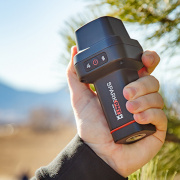
| SparkFun Electronics | RTK Torch | Surveying and mapping, precise agriculture | E6b |
| Unicore Communications | UM980 | Surveying and mapping, precise agriculture | E6b |
| Unicore Communications | UM981 | Surveying and mapping, precise agriculture, intelligent driving | E6b |
| Unicore Communications | UM982 | UAV and precision agriculture | E6b |


